Enrich your geo-data with semantic information to optimize your operations and/or logistics while reducing maintenance cost
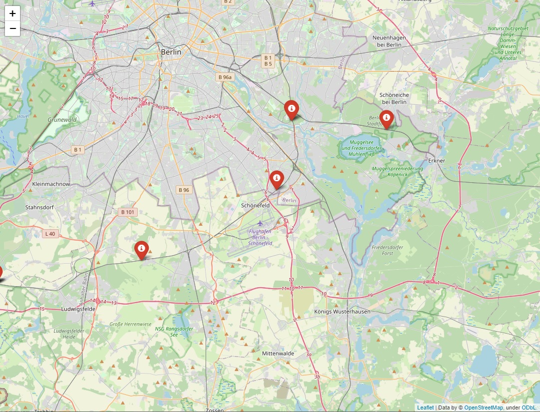
Geo-analytics is relevant across many use cases from enriching postal codes with geo coordinates and distances to identifying clusters or movement patterns. One of the use cases that we solved as part of the BMVI-funded project QUISS together with DB Cargo and RWTH Aachen is somewhat trickier: Mapping of GPS coordinate measurements to railway tracks. DB Cargo's Wagon Intelligence unit had already equipped more than 30,000 wagons with telemetry units and is in the process of upgrading around 70,000 wagons in total. The telemetry units, the equipment for measuring and transmitting data points about the wagon, sends the the wagon's geographical GPS position, among many other parameters.
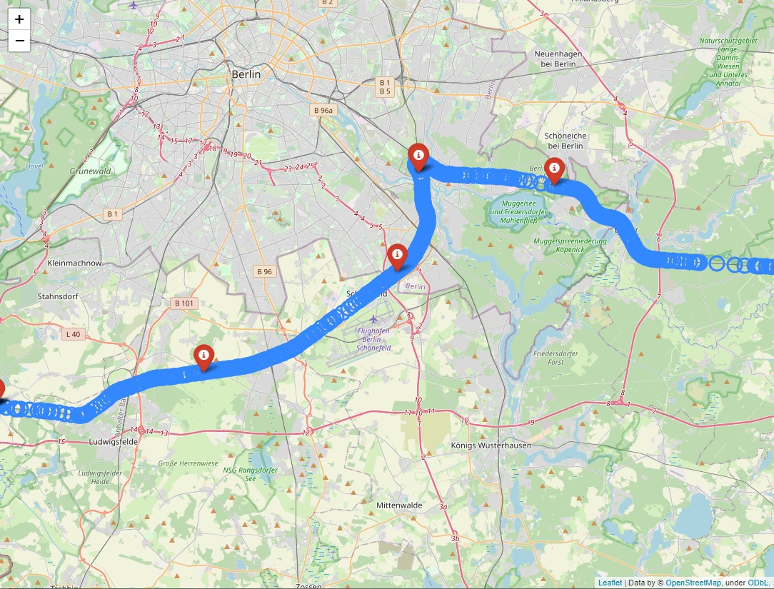
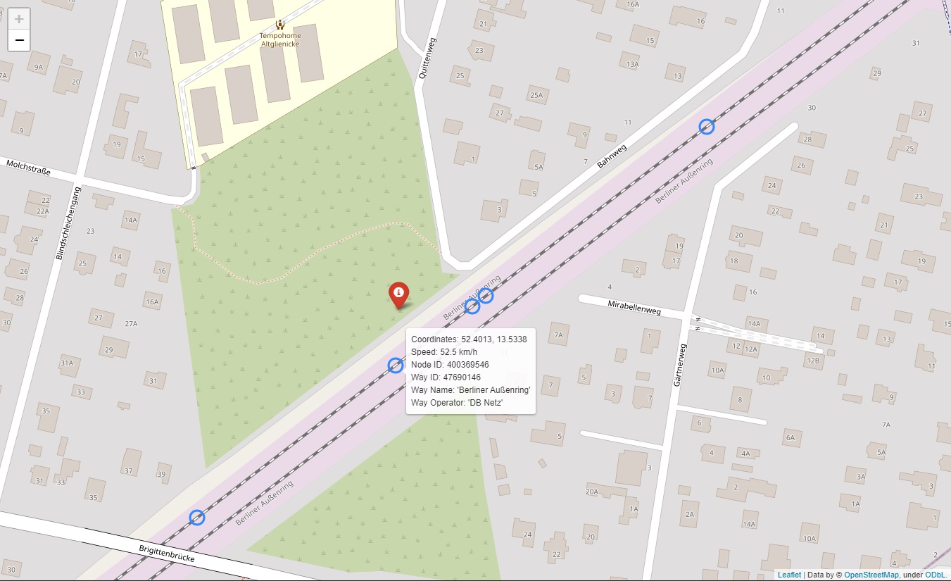
Knowing a wagon's GPS coordinates is a good first step, however, for organizations such as DB Cargo it is critical to semantically understand the wagon's exact position. In this case, cities or postal codes alone are not sufficient to enrich with. Here, our AI enriches with data from OpenStreetMap down to the finest granular relevant level – the exact railway section. These railway sections are often shorter than a couple of meters each, having their own unique IDs and meta-information. This detailed information enables DB Cargo to further process wagon locations for many other use cases, including predictive maintenance: If a telemetry unit detects a hard shock – which may damage the wagon – DB Cargo knows exactly which section of the railway track may be the likely cause and can prioritize and schedule repairs. With such granular semantic data at hand, one can also continue to aggregate, perform anomaly detection, and other high-level analyses.
Geo-analytics can be surprisingly powerful and versatile in enriching existing datasets for both primary and secondary use cases. This helps businesses to effectively get more value out of their existing data sources and ultimately speed up digitization initiatives. Also, it goes without saying that “real” locations are by far easier for human experts to reason about than GPS coordinates.
In cooperation with


Funded in part by

The Inspirient Automated Analytics Engine automates the entire data analytics process end-to-end: From the assignment of input data, pattern and outlier detection, automated visualization of patterns, weak points and opportunities to automatic generation of textual explanations and recognition of the underlying relationships and rules. Most other analytics solutions rarely include these textual explanations and observations regarding the underlying data relations, which are both critical to provide a deeper level of analysis and more actionable conclusions.